The Walk
The walk covers 4.96 kilometers through Perpignan over 2 hours and 22 minutes, documenting streets and neighborhoods including Avenue Julien Panchot, Moulin d'en Vinyals, Avenue Marcelin Albert, and Résidence Rois de Majorque II. A RICOH GR III HDF captures 32 photographs, of which 23 include geotag data. The route passes through the Occitanie region on June 4, 2026.
Photographs32
Geotagged23 (71%)
Duration2h 22m
Route distance4.96 km
Date2026-06-04

Start · 11:27
Avenue d'Espagne, Cité des Baléares, Occitanie

End · 13:49
13.jpg
Full Archive — 32 photographs
Contact Sheet
↓ Download contact sheet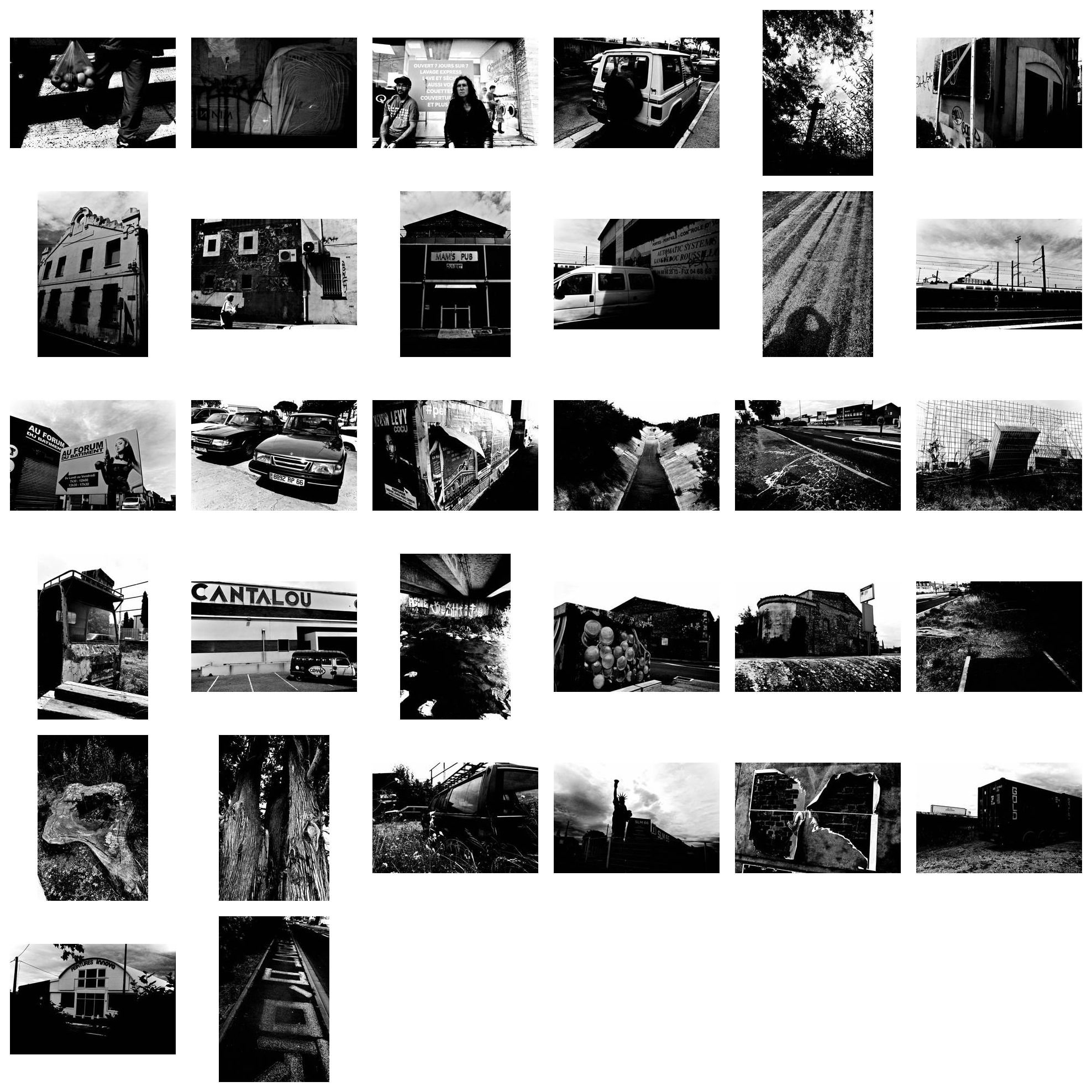
Photographed by Christophe RUSSO · Published via FLUX. Photographer retains ownership. FLUX is an archive and publishing platform.